
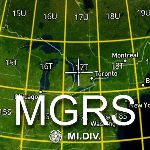
MGRS Offline Map Satellite
0+
Downloads
1.9
Version
47.2 Mb
Size
12L+
Android
—
Safe
About
This app provides offline maps with support for satellite, topographic, and standard maps. Download maps by simple grid squares and use them without an internet connection. The built-in MGRS grid offers precise location tracking using the Military Grid Reference System. Key features include offline access and MGRS support for navigation. Perfect for travel, hiking, and fieldwork. The Military Grid Reference System (MGRS) is the geocoordinate standard system used for position reporting, and situational awareness during land operations. An MGRS coordinate does not represent a single point, but rather defines a square grid area on the Earth's surface. The location of a specific point is therefore referenced by the MGRS coordinate of the area that contains it. The MGRS is derived from the Universal Transverse Mercator (UTM) and Universal Polar Stereographic (UPS) grid systems and is used as a geocode for the entire Earth. Examples: - 18S (Locating a point within the Grid Zone Designation) - 18SUU (Locating a point within a 100,000-meter square) - 18SUU80 (Locating a point within a 10,000-meter square) - 18SUU8401 (Locating a point within a 1,000-meter square) - 18SUU836014 (Locating a point within a 100-meter square) To satisfy special needs, a reference can be given to a 10-meter square and a 1-meter square as follows: - 18SUU83630143 (Locating a point within a 10-meter square) - 18SUU8362601432 (Locating a point within a 1-meter square)
Screenshots
Screenshots

Info
Updated
03.09.2026
Version
1.9 (10)
Size
47.2 Mb
Requires
Android 12L+
Category
Apps
Package
com.midivision.mgrs_rectangle_offline_map
AppLoko
Takedown Request
Design development
All rights reserved © 2026

AppLoko
All rights reserved © 2026
Design development