

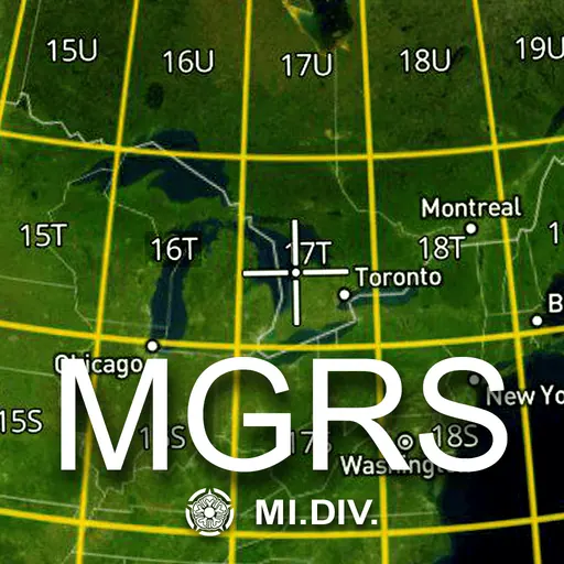
Download MGRS Offline Map Satellite APK
Screenshots
- Version
- 1.9
- Size
- 34.7 MB
- Added
- Requires
- Android 8.1+
- Developer
- MI Division
- Category
- Navigation & Maps
About this app
This app provides offline maps with support for satellite, topographic, and standard maps. Download maps by simple grid squares and use them without an internet connection. The built-in MGRS grid offers precise location tracking using the Military Grid Reference System. Key features include offline access and MGRS support for navigation. Perfect for travel, hiking, and fieldwork. The Military Grid Reference System (MGRS) is the geocoordinate standard system used for position reporting, and situational awareness during land operations. An MGRS coordinate does not represent a single point, but rather defines a square grid area on the Earth's surface. The location of a specific point is therefore referenced by the MGRS coordinate of the area that contains it. The MGRS is derived from the Universal Transverse Mercator (UTM) and Universal Polar Stereographic (UPS) grid systems and is used as a geocode for the entire Earth.
Examples: - 18S (Locating a point within the Grid Zone Designation) - 18SUU (Locating a point within a 100,000-meter square) - 18SUU80 (Locating a point within a 10,000-meter square) - 18SUU8401 (Locating a point within a 1,000-meter square) - 18SUU836014 (Locating a point within a 100-meter square)
To satisfy special needs, a reference can be given to a 10-meter square and a 1-meter square as follows: - 18SUU83630143 (Locating a point within a 10-meter square) - 18SUU8362601432 (Locating a point within a 1-meter square)
How do I download MGRS Offline Map Satellite?
Is MGRS Offline Map Satellite free on AppLoko?
What is the current version of MGRS Offline Map Satellite?
What Android version does MGRS Offline Map Satellite need?
What category is MGRS Offline Map Satellite in?
What should I do if MGRS Offline Map Satellite will not install?
Is it safe to download MGRS Offline Map Satellite from AppLoko?
Collections
Similar apps
All


Navigation & Maps
All







Popular
 Google ChromeCommunication
 Google DriveProductivity & Office
 Google CalendarProductivity & Office
 YouTube MusicMusic & Audio
 Google AssistantProductivity & Office
 Facebook LiteSocial Networks
 Samsung BrowserCommunication
 Mi MusicPhoto & Video
 TelegramCommunication
 LinkedIn: Community & NetworkProductivity & Office
 Samsung HealthHealth & Fitness
 WhatsApp BusinessCommunication