

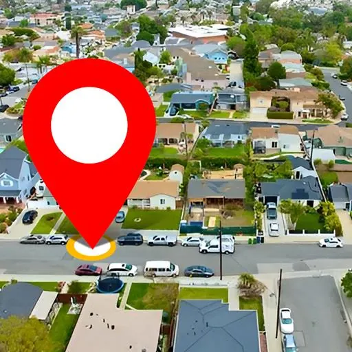
Download Satellite Map Live Earth View APK
Screenshots
- Version
- 2.8.1
- Size
- 57.7 MB
- Updated
- Requires
- Android 7.0+
- Developer
- GPS Driving & Voice Navigation Apps
- Category
- Navigation & Maps
About this app
This app combines satellite imagery with route navigation, letting you look at a place from above and then work out how to get there. Satellite view is genuinely useful for the questions a road map cannot answer: what the terrain around a campsite looks like, whether a property has a garden, how a junction is laid out before you drive it, or simply what a distant country looks like from above. A 3D view adds relief, which makes mountains, valleys and city skylines readable in a way flat imagery never is. One thing is worth clarifying because apps in this category are often loose about it. Satellite imagery is not live. It is photographed periodically by satellites and aircraft, then processed, so what you see may be months or a couple of years old depending on the area. No consumer app shows a live view of your street from orbit, and any that claims to is describing something that does not exist. What is genuinely live is traffic data, which comes from current road conditions, and your own GPS position. Navigation covers route planning with voice guidance, and place search finds addresses and points of interest nearby. Used with realistic expectations it is a capable free map tool.
Older versions
Version historyHow do I download Satellite Map Live Earth View?
Is Satellite Map Live Earth View free on AppLoko?
What is the current version of Satellite Map Live Earth View?
What Android version does Satellite Map Live Earth View need?
What category is Satellite Map Live Earth View in?
What should I do if Satellite Map Live Earth View will not install?
Is it safe to download Satellite Map Live Earth View from AppLoko?
Collections
Similar apps
All




Navigation & Maps
All Vio: Hotels & travel dealsTravel & Local
 Vrbo Vacation RentalsTravel & Local
 Freenow by Lyft - taxi & moreTravel & Local
 FlixBus: Book Bus TicketsTravel & Local
 Global EntryTravel & Local
 National Park ServiceTravel & Local
 Skyscanner Flights Hotels CarsTravel & Local
 Spin — Electric ScootersTravel & Local
 Google EarthNavigation & Maps
 MakeMyTripNavigation & Maps
Popular
 Google ChromeCommunication
 Google MapsNavigation & Maps
 Google DriveProductivity & Office
 Google CalendarProductivity & Office
 YouTube MusicMusic & Audio
 Google AssistantProductivity & Office
 Facebook LiteSocial Networks
 Samsung BrowserCommunication
 Mi MusicPhoto & Video
 TelegramCommunication
 LinkedIn: Community & NetworkProductivity & Office
 Samsung HealthHealth & Fitness